






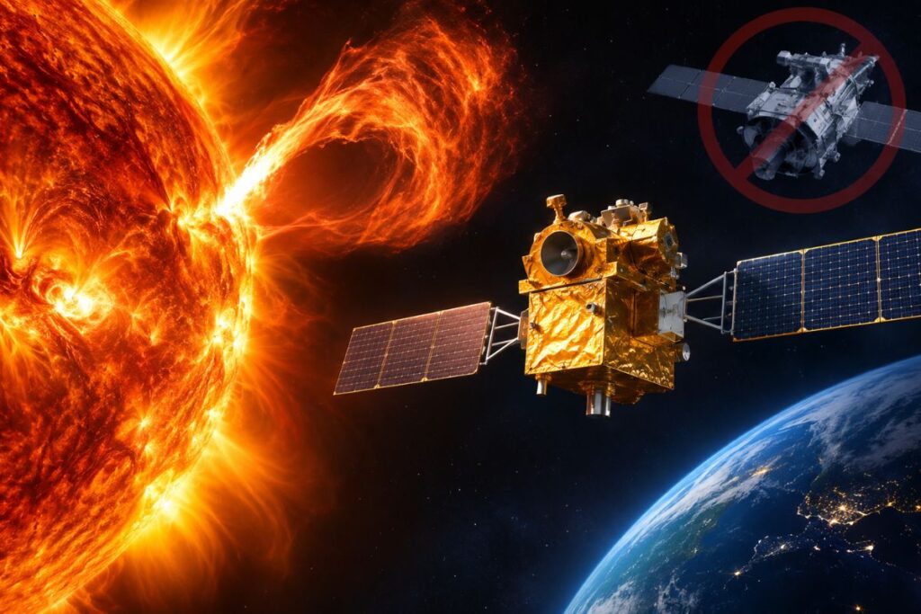
Aditya-L1 solar storm prediction cannot function as a standalone early-warning system. While its coronagraph captured the August 2024 eruption, calculating the storm’s speed, tilt, and three-dimensional trajectory required simultaneous imagery from NASA’s 14-year-old Solar Dynamics Observatory (SDO). Without that orthogonal viewpoint, data from the Indian observatory leaves the direction and true expansion rate of solar storms mathematically unsolved.
Why Did Aditya-L1 Need NASA’s SDO to Map the August 2024 Solar Eruption?
Aditya-L1 could not determine the three-dimensional structure of the August 5, 2024 eruption on its own because a single vantage point cannot measure transverse expansion across the sky.
When researchers at the Indian Institute of Astrophysics (IIA) analyzed the coronal mass ejection, a massive expulsion of magnetized plasma and solar radiation from the Sun’s corona, they relied on the spacecraft’s primary payload, the Visible Emission Line Coronagraph (VELC). The Aditya-L1 VELC instrument observed how ionized iron gas moved along its direct line of sight using Doppler spectroscopy, which calculates speed by measuring how light waves compress or stretch as an object travels toward or away from the sensor.
Those spectroscopic readings proved that the plasma was not expanding in an even bubble: one side moved markedly faster, and the central axis was tilted.
Line-of-sight velocity reveals only motion directly aligned with the instrument.
Determining the actual expansion velocity and trajectory in three dimensions requires mapping the transverse boundaries of the eruption, the plasma moving across the sky perpendicular to the observer. VELC cannot observe those angles from its position.
According to ISRO’s technical disclosure on the August 2024 eruption, scientists solved the 3D coronal mass ejection reconstruction published in The Astrophysical Journal Letters by combining VELC’s spectral shifts with extreme ultraviolet images from the Atmospheric Imaging Assembly aboard NASA’s Solar Dynamics Observatory, using its 193 Ångström and 211 Ångström wavelength channels. Without SDO providing that cross-cutting view, the tilt, physical volume, and true trajectory remained mathematically impossible to isolate.
Why Can’t a Single Spacecraft Calculate 3D Solar Storm Paths?
A single instrument tracking an incoming eruption cannot decouple sideways expansion from directional travel because both motions project identically onto a two-dimensional sensor.
Stationed at the Sun-Earth Lagrange Point 1 (L1), a gravitational equilibrium point roughly 1.5 million kilometers sunward from Earth, the Indian Space Research Organisation (ISRO) spacecraft looks straight down the barrel of an oncoming storm.
In observational astrophysics, viewing an expanding plasma bubble from one static vantage point triggers mathematical degeneracy: a compact cloud hurtling straight toward the lens creates the same optical signature as a massive cloud expanding sideways at an angle away from Earth.
Doppler shifts solve only the motion component along the observer’s line of sight. According to NASA’s Heliophysics research standards, an observer with only one perspective measures a single velocity vector. Calculating true expansion requires an orthogonal, side-angle reference frame to decouple lateral expansion rates from forward trajectory.
The limitation reflects basic orbital geometry rather than a hardware defect. ISRO engineered Aditya-L1 to observe the inner solar corona at the 530.3-nanometer green emission line down to 1.05 solar radii, measuring solar regions closer to the surface than standard orbital coronagraphs reach. ISRO never built the spacecraft to operate as an autonomous stereoscopic network. International instrument cross-referencing remains an unavoidable requirement imposed by the physics of optical observation.
How Fragile Is the International Fleet Tracking Solar Storms?
Modern space-weather modeling relies on an international fleet of off-axis spacecraft operating decades past their original design lifespans.
The NASA Solar Dynamics Observatory SDO asset supplying the cross-cutting view for Aditya-L1’s calculations is operating on borrowed time. Launched in February 2010 with an intended five-year mission design, SDO has spent 14 years in an inclined geosynchronous orbit.
Evaluations published in NASA’s Heliophysics Senior Review Reports show that while SDO remains scientifically operational, it exhibits predictable mechanical wear:
- Hardware wear: SDO requires regular charge-coupled device (CCD) bakeouts to reverse sensor sensitivity degradation, while its reaction wheels, which control pointing accuracy toward the Sun, face continuous mechanical friction.
- Aging legacy fleet: The joint European Space Agency (ESA) and NASA Solar and Heliospheric Observatory (SOHO) launched in 1995 and is entering its fourth decade of service, while NASA’s Solar Terrestrial Relations Observatory (STEREO-A) has operated since 2006.
Solar physicists rely on an operational fleet where nearly every critical off-axis instrument is sustained by year-to-year budget extensions.
Can Any Single Country Achieve Sovereign Space-Weather Security?
Autonomous space-weather independence does not exist because solar storm tracking demands round-the-clock, multi-angle telemetry distributed around the Sun.
Public reports following the August 2024 detection frequently described the finding as a standalone national milestone. Yet no sovereign space program maintains an independent, multi-point solar warning architecture. The United States relies on European coronagraphs, the European Space Agency utilizes American deep-space downlinks, and Indian researchers depend on data feeds from both agencies.
Early warnings for extreme geomagnetic activity, protecting terrestrial power distribution grids, high-frequency aviation communications, and commercial satellite constellations require uninterrupted data handoffs between nations. If one orbital link degrades, every operational forecasting center loses predictive resolution.
When Will Replacements Close the Space Weather Early Warning Gap?
A projected three-to-five-year space weather early warning gap will occur around 2030 as legacy satellites retire before next-generation off-axis missions enter operational service.
SDO and STEREO-A face growing statistical probabilities of subsystem failure. Concurrently, funded replacements designed to view solar storms from off-axis angles remain years from launch.
The European Space Agency’s Vigil space weather mission will monitor solar eruptions from the Sun-Earth Lagrange Point 5 (L5), a vantage point positioned 60 degrees behind Earth’s orbital path, providing operational side-angle views of incoming plasma clouds. ESA baseline schedules, however, slate Vigil’s launch for approximately 2031. NOAA’s Space Weather Next program plans supplementary deep-space instruments, but its operational deployments extend into the 2030s.
That timeline leaves a vulnerable multi-year window near the turn of the decade.
If SDO or its primary optical sensors fail before those replacements take station, observatories stationed at L1, including Aditya-L1, will continue collecting raw data. But calculating the precise shape, tilt, and impact trajectory of an incoming solar eruption will revert to mathematical approximation.
Frequently Asked Questions
Can Aditya-L1 detect solar storms on its own?
Aditya-L1 can detect the presence and line-of-sight velocity of a solar eruption using its VELC instrument. However, it cannot calculate the storm’s three-dimensional shape, sideways expansion rate, or actual trajectory without secondary imagery from an external spacecraft positioned at another angle.
Why did ISRO use NASA’s SDO data for the August 2024 solar eruption study?
ISRO researchers needed orthogonal extreme ultraviolet images from SDO’s Atmospheric Imaging Assembly (193 Å and 211 Å channels) to establish the transverse boundary of the coronal mass ejection. Combining that data with VELC’s Doppler shift measurements allowed scientists to resolve mathematical degeneracy and model the eruption’s tilted, asymmetric expansion in 3D.
What is the space weather early warning gap?
The space weather early warning gap refers to a projected 3-to-5-year operational vulnerability around 2030, caused by aging satellites like NASA’s SDO (launched in 2010) and STEREO-A (launched in 2006) nearing retirement before next-generation side-view missions, such as ESA’s Vigil (scheduled for 2031), are positioned in orbit.